Badbury Rings
8 September 2014
Badbury Rings is an Iron Age hillfort just north of the B3082 Blandford Forum-Wimborne Minster road. The site dates from around 800 BC. It was in the territory of the Durotriges and in use until the Roman occupation of 43 AD. A Roman temple was located immediately west of the fort and there was a Romano-British town known as Vindocladia a short distance to the south-west. Five Roman roads including those to Durnovaria (Dorchester) and Sorviodunum (Sarum) formed a complex junction on its north side.
The area now forms part of the Kingston Lacy estate and is under the guardianship of the National Trust. The site has been restored to light grazing land as this has for centuries played an important role in establishing wildflowers and herbs.
The site was first mapped for orienteering by John Warren of Wimborne Orienteers in 2014 and the first event was a WIM/WSX club evening staged in sunlight on 8 September. A Score course and three Cross Country courses were offered, and over 50 competitors enjoyed fast running in this splendid area of open grassland adjoined by a small wood.

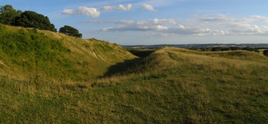
A view of the ramparts from the south west
The entrance of the hill fort
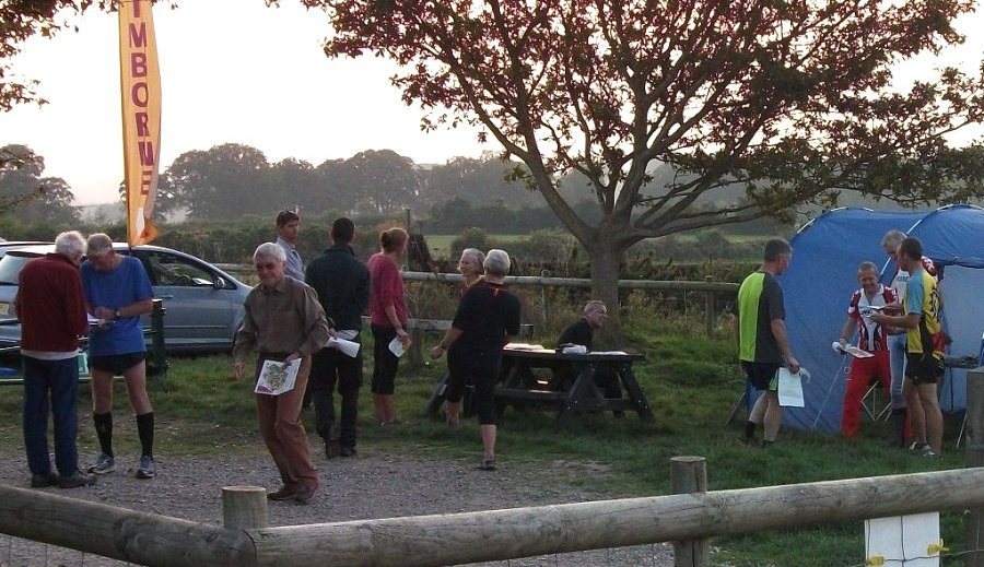
A busy scene at Assembly
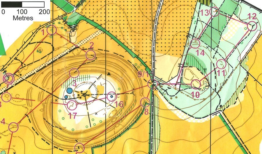
Part of the Long Harder course, 2.8km. Badbury Rings hill fort is centre west; High Wood is to the east.
Find out more about Badbury Rings on Wikipedia.
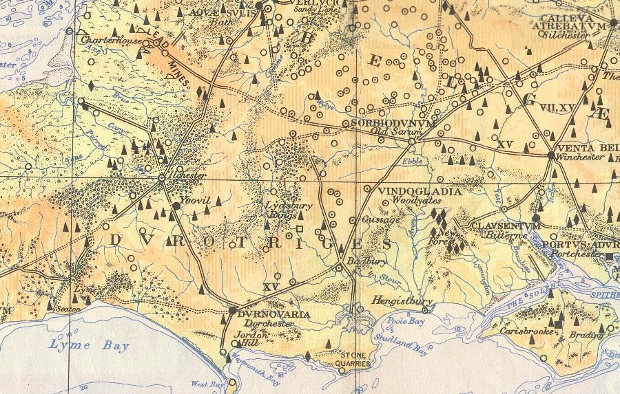
Extract showing main roads and settlements from Images of the map of Roman Britain 2nd Edition published by Ordnance Survey.
Note the apparent displacement of Vindocladia from Badbury Rings to near Vernditch - a puzzle.